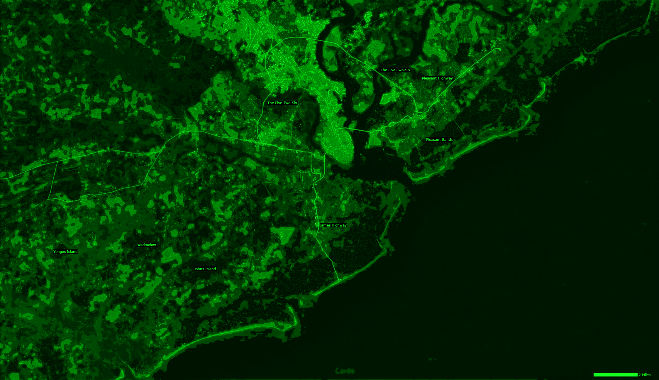
Player's Map of Charleston
This is the topographical map of Charleston, SC in 2088. The lighter green areas indicate parts of the map well enough above sea-level to not worry about flooding. The darker the green, the more susceptible the area is to flooding. The darkest areas are navigable by river boats. The major rivers, harbor, and ocean are navigable by larger vessels.